Mining Survey Services in Western Australia and West Africa
Sahara Natural Resources is a diversified mining services company that delivers world-class drone, UAV and ground level geophysical surveys. Whether you require accurate stockpile reconciliation, vertical analysis of a landholding, subsurface imaging, or reporting and auditing, Sahara has the equipment and skilled personnel to get the job done. Our professional surveyors and skilled technicians utilise the latest technology and cutting-edge techniques to ensure accurate data is recorded above and below ground.
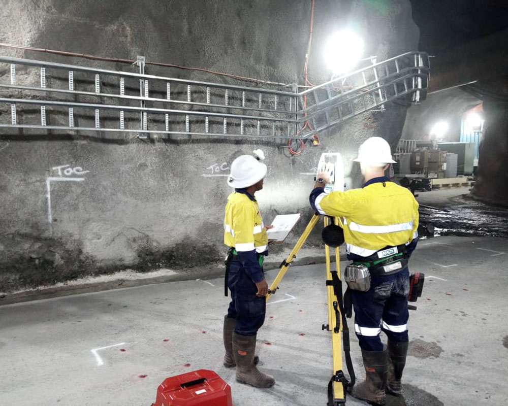
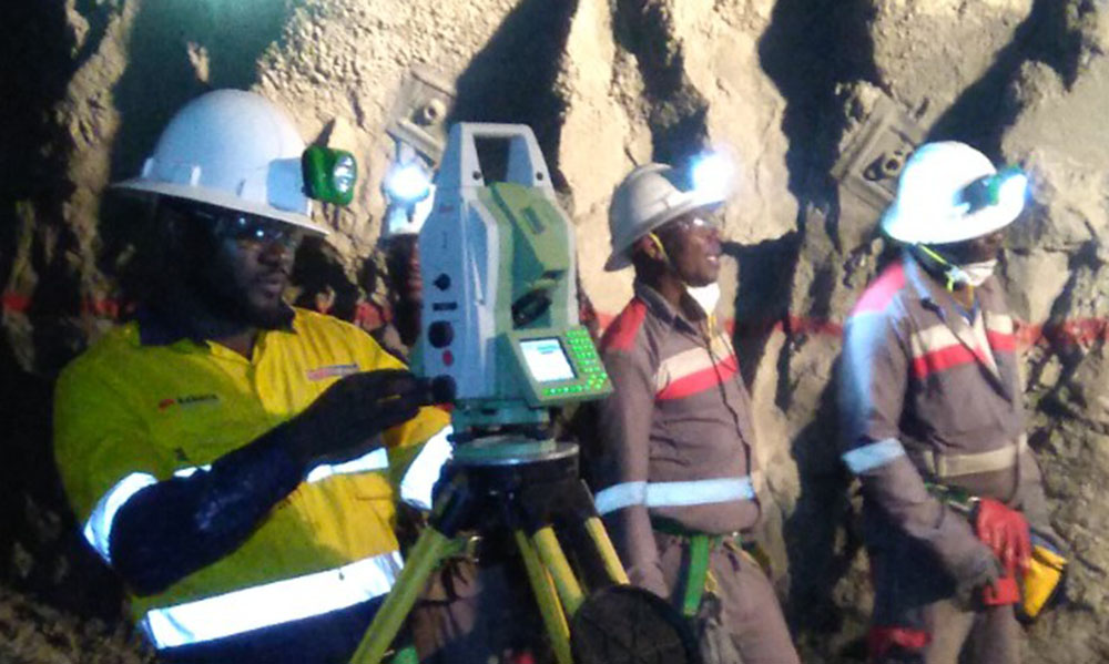
Surveying Services at the Ground Level – Physical Sensing Techniques to Map and Interpret your Tenements
Sahara’s personnel are extensively trained in a number of geophysical survey methodologies that enable the interpretation of subsurface structures and contained materials. Often, to accurately perform these works, specialty equipment and reporting capabilities are necessary. Some of the main methods of geophysical surveying are detailed below.
Ground Penetrating Radar
Ground-penetrating radar (GPR) is a non-invasive survey method that uses radar pulses as a means of imaging a subsurface, to investigate what lies underground. Using electromagnetic radiations, GPR can detect reflected signals from subsurface structures, including rock, soil and other underground matter.
Electrical Resistivity Surveys
Sahara offers Electrical resistivity survey services to clients in the mining and wider industrial sector. This method of survey measures the electrical resistance of the ground, enabling a surveyor to determine the presence (or lack thereof) of subsurface structures and materials.
This geophysical survey method requires the use of a specialised instrument known as a resistivity meter, which is calibrated to measure electrical resistance at the ground level.
Gravity Surveys
Gravity surveys are another method of subsurface investigation. As the name suggests, gravity surveys measure the gravitational attraction of the earth, in order to interpret subsurface density.
To conduct this survey method, Sahara makes use of a gravimeter, which is a piece of equipment that provides data on gravitational acceleration at a particular location. This data is then be translated into a gravity map of the surveyed area, for visibility of variances in subsurface density.
Gravity surveys can be conducted in a number of industries/applications, including mining, oil and gas, geothermal energy exploration, and environmental studies.
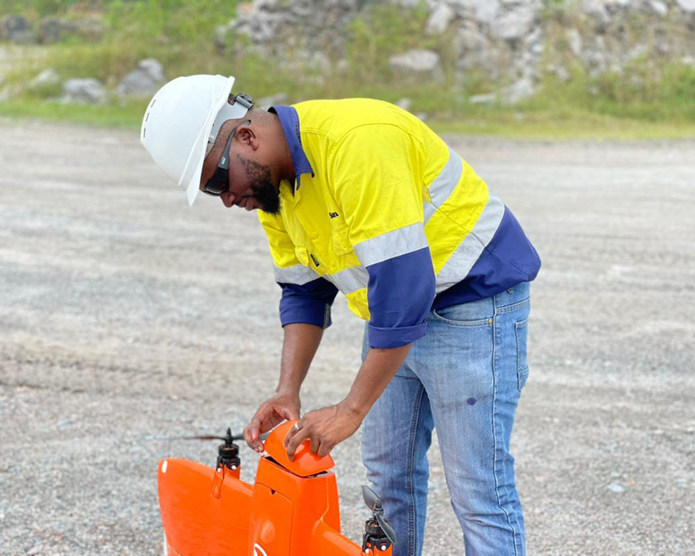
Aerial Surveying Services for Mapping and Stockpile Reconciliation
Majority of Sahara’s available aerial surveying methods are undertaken with the use of specialised drones or Unmanned Aerial Vehicles (UAV’s). Built for purpose, this equipment offers advanced aerial sensor technology for geophysical insights, which are invaluable to miners in stages of prospecting, exploration and mining, through to processing and recovery. The magnetometry-based data collection and interpretation survey services help clients to make more informed operational decisions, improving the efficiency and ROI.
To conduct our drone or UAV survey works, Sahara deploys a full onsite remote pilot to cater to a client’s requirements. The pilot is a qualified surveyor, trained to fly in accordance with aviation rules and protocols.
From data on flying stockpiles and pit pickups, through to monitoring pit walls – our onsite pilot supplies a host of information and documentation that enables quick business decisions and output.
Electromagnetic Surveys
An electromagnetic survey – when conducted via a UAV – is an ideal method of mapping a specified area. Able to be flown at a height of 20m above ground, at speeds of up to 40km/hr, aerial electromagnetic surveys are equal parts efficient and accurate.
Due to its manoeuvrability, this form of surveying can achieve true terrain following and vertical climbing, enabling the assessment mountainous areas and valleys that would otherwise be difficult to reach.
Operating at a magnetometer standard sampling rate of 1000Hz (considering speed and altitude) results in as many as 700 samples every 7m.
Radiometric Surveys
Like electromagnetic surveys, radiometric surveys can be conducted either using a (handheld) ground-based instrument, or via airborne sensors. At Sahara, our radiometric survey services are undertaken using the latter.
Measuring the natural radioactivity of subsurface materials through emitting electromagnetic waves that identify the electrical conductivity of a subsurface, which can then subsequently be interpreted to determine the structure, this method is widely used by exploration companies in the mining sector.
LiDAR Surveys
LiDAR Drone Surveys are ideal in instances where the ground area being surveyed hosts dense vegetation.
In LiDAR surveying, light pulses are utilised to penetrate through branches and leaves comprising up to 90% vegetation with high vertical accuracy, painting a comprehensive aerial picture of your landholding.
Need reliable surveying at your site? Think Sahara.
At Sahara, we’re across all areas of mine surveying in Africa and beyond.
After a surveying service not listed above? Get in contact with our team of experts to learn more.